Alaska in the Rearview

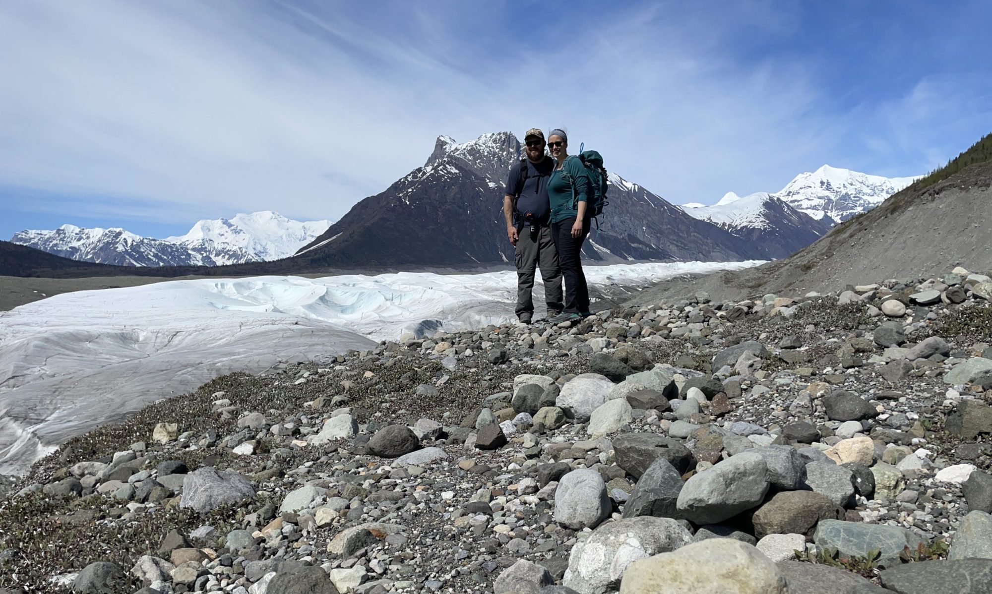
On October 1, Tim and I packed up our car and left Anchorage. The last 2 weeks of September were full of packing, garage sales, cleaning out our apartment, squeezing in precious time with friends, and more packing. It was an exhausting week leading up to “go day”, but we made it. Sprinkled throughout these final days were mixed feelings of excitement followed by sadness, and occasionally outbursts of tears followed by laughter. Change is a strange thing, especially the anticipation of knowing you will miss something. But after seven and a half years, we feel ready for a change. We’re hopeful this adventure offers new experiences, opportunities for growth, and pushes us outside of our comfort zones!
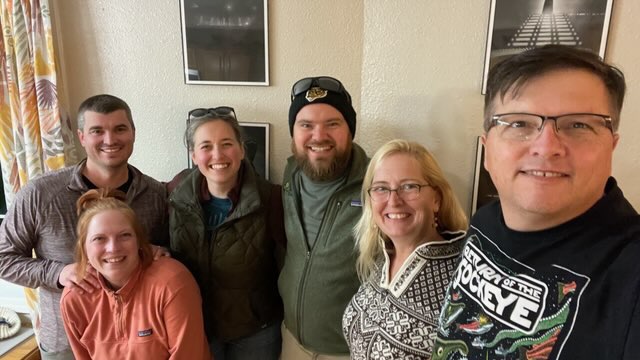
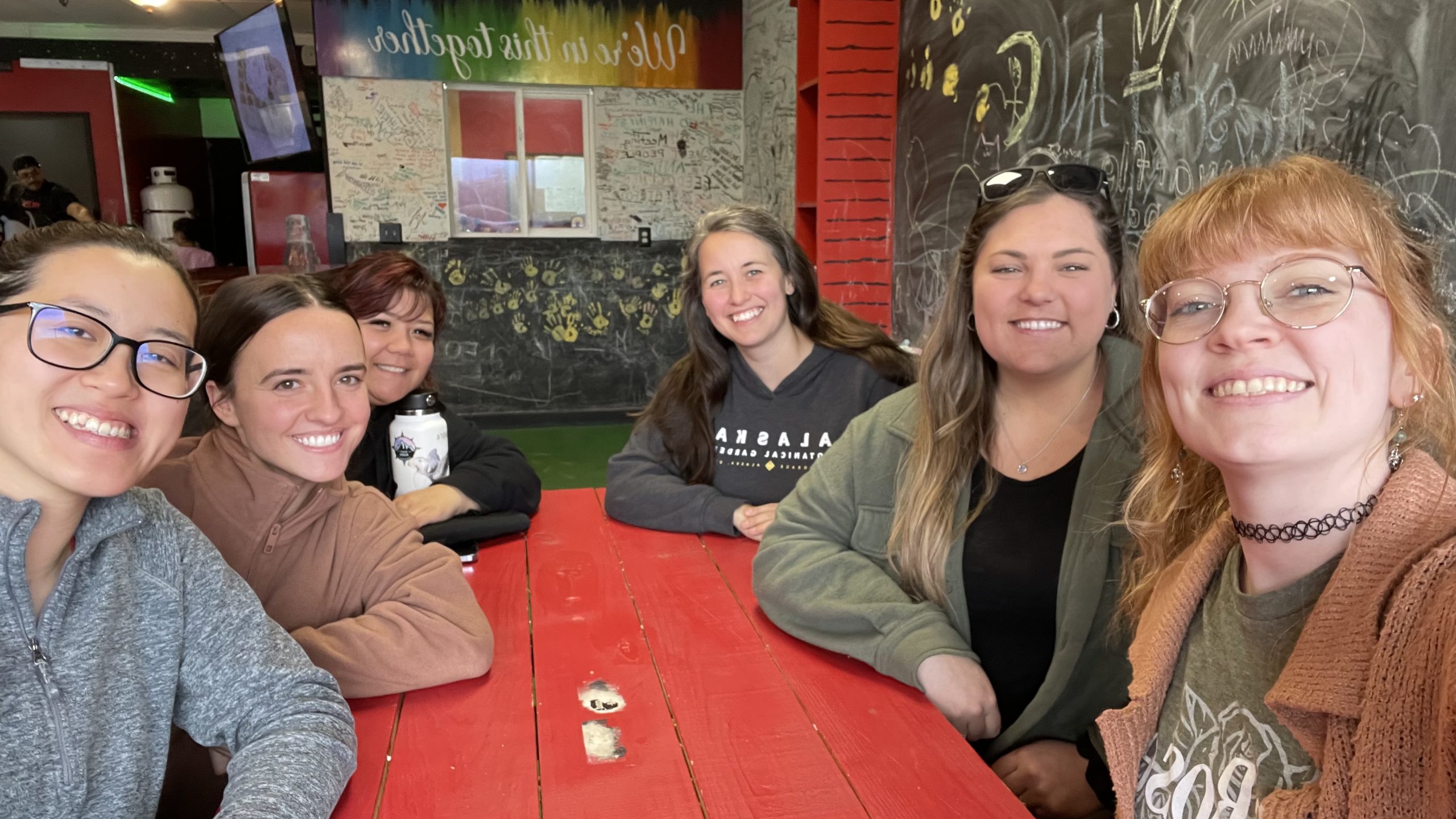
Lots of time with friends during our final weeks in Anchorage. (Many more gatherings not pictured!)

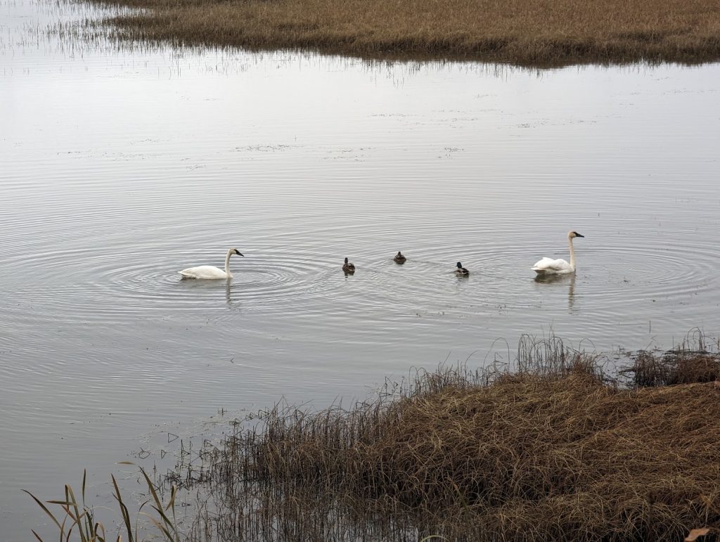
We made great time on Sunday and beat the snow & wind that was forecast to arrive across the Eastern Alaska Range and northern Copper River Basin. Darkness was already creeping in when we pulled into the Lakeview Campground just outside of Northway, AK. We parked at a perfect site right on the lake and were warmly greeted by several trumpeter swans. They were barely visible in the fading dusk light, but were sure to make their presence known. 
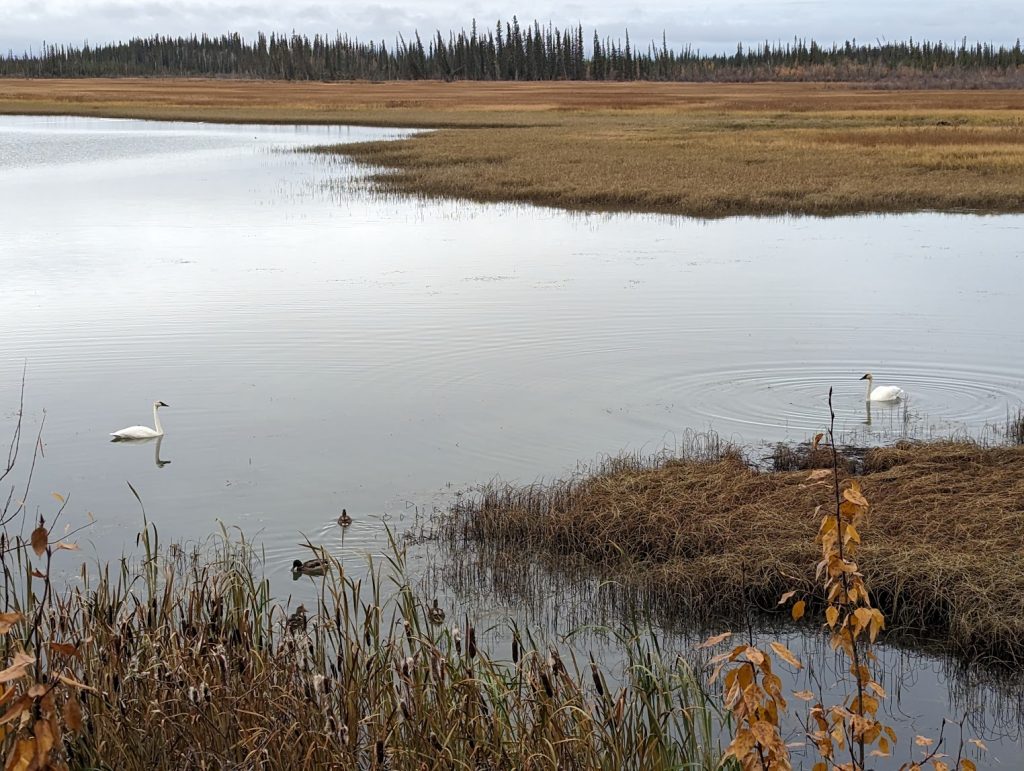
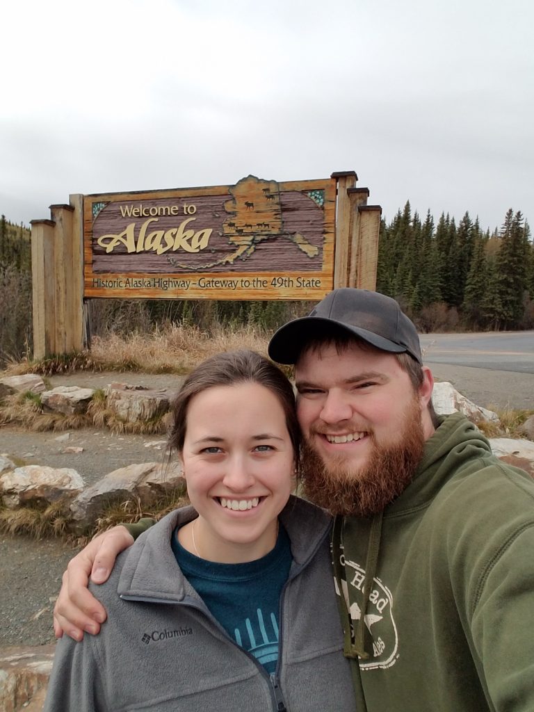
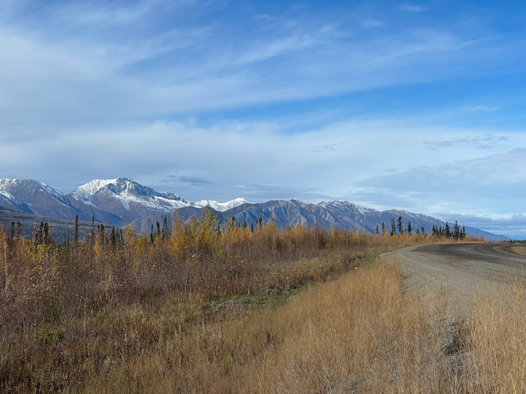
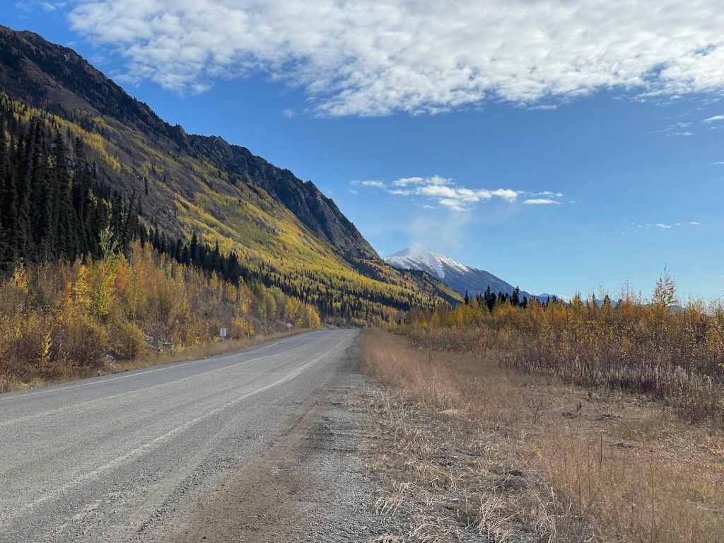
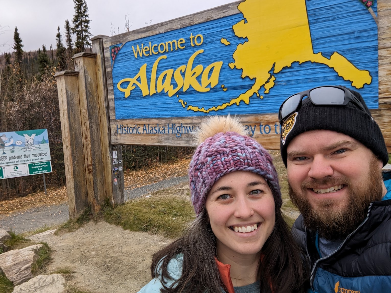
Monday morning we awoke to overcast skies and chilly temperatures. A layer of frost coated the ground. After a quick breakfast and coffee, we packed up and hit the road again. We crossed the border into Yukon around 10am and reached Kluane National Park and Kluane Lake by the early afternoon. The fall colors were amazing, and the views around each bend in the road seemed to outdo the last. The welcomed rays of sunshine highlighted the trees even more. Coupled with towering snow-capped peaks in the background, the scenery was truly mesmerizing. I’m not confident the pictures do any justice!  
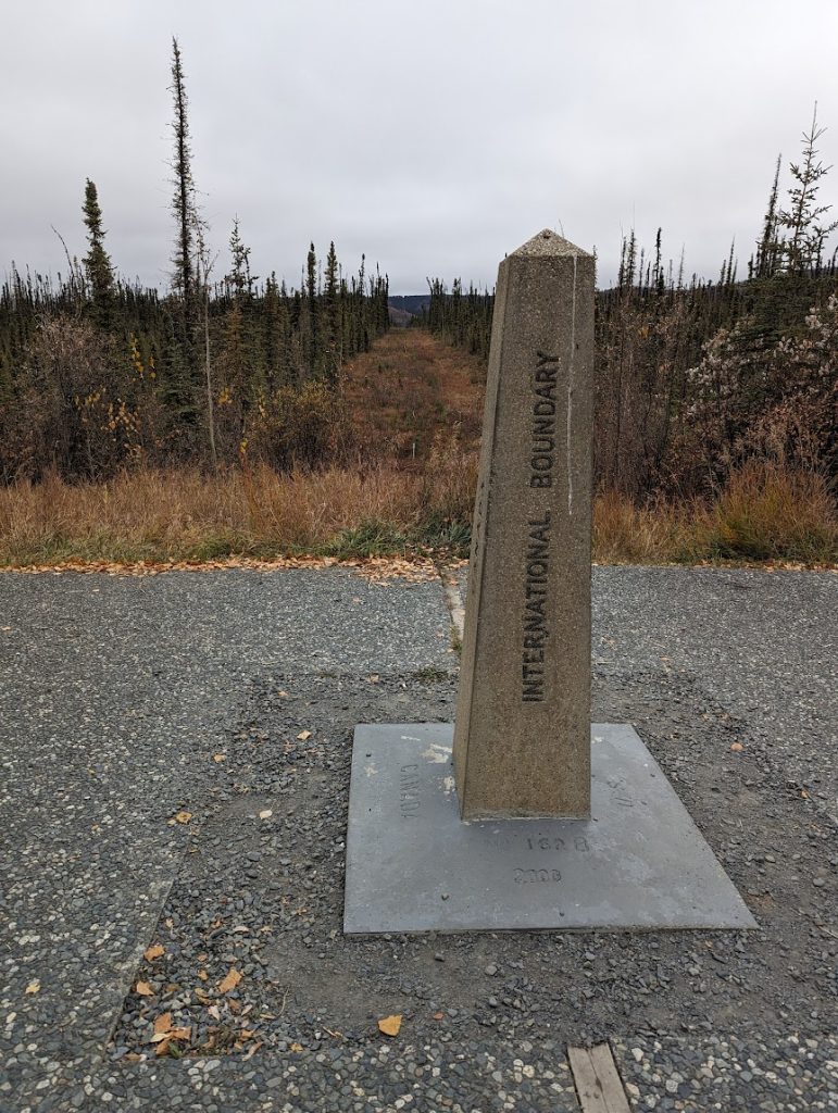
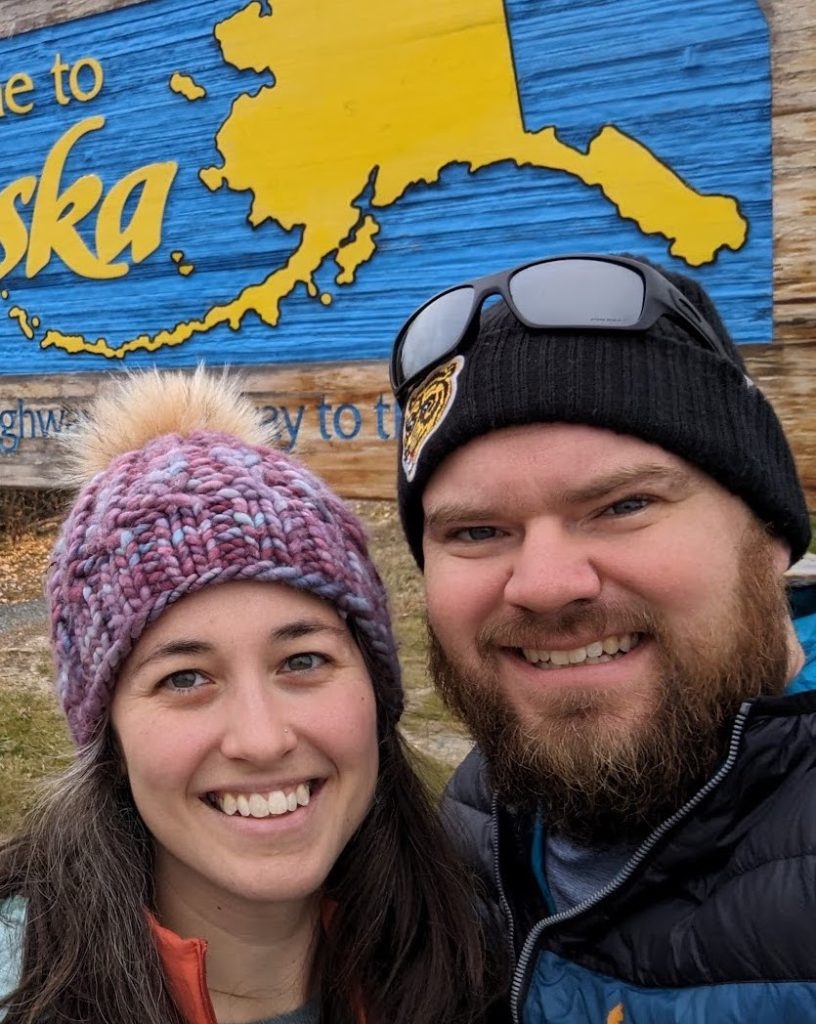
Crossing the border from Alaska into Yukon

We pulled into Whitehorse around 6pm and sampled local brews at Winterlong Brewing. The friendly staff recommended various campsites and we found a great spot halfway up Gray Mountain with views overlooking Whitehorse. After a long day of driving, we settled into camp with a hot meal and a game of cribbage. We were treated to a beautiful sunset, though knew the fair weather wouldn’t last long as rain was moving in!
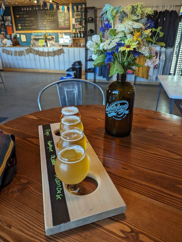
Friendly staff and tasty brews at Winterlong Brewing in Whitehorse, YT

It was hard waking up Tuesday morning. Temperatures in the low 40s and the sound of steady rain certainly weren’t an inviting start to the day, but the lure of a local coffee roastery and bagel shop got us moving. We packed up and made our way into town for stops at Midnight Sun Roastery, followed by Bullet Hole Bagels. With full bellies, caffeine, and a full tank of gas, we got back on the Alaska Highway and drove towards Watson Lake. 

The gloomy and rainy weather continued for most of the day; a stark contrast to the sunshine we had Monday. In the early afternoon, we stopped at Rancheria Falls, just a couple hours outside of Watson Lake. It was a great place to stop for lunch, and there is a short walk through the boreal forest to a boardwalk overlooking beautiful waterfalls. 

Tim walking along the boardwalk at Rancheria Falls

About an hour later, we reached Watson Lake. After a quick stop to gas up, we walked through Sign Post Forest to scout out a good place to leave our sign! Tim fashioned together a unique sign using two halves of license plates – one half Alaska and one half New Hampshire – to represent our time in both places and our journeys back and forth between Alaska and the East Coast.
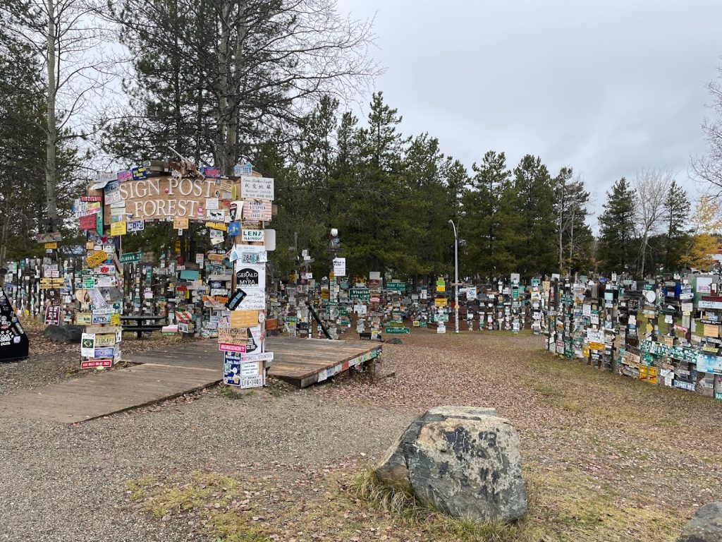
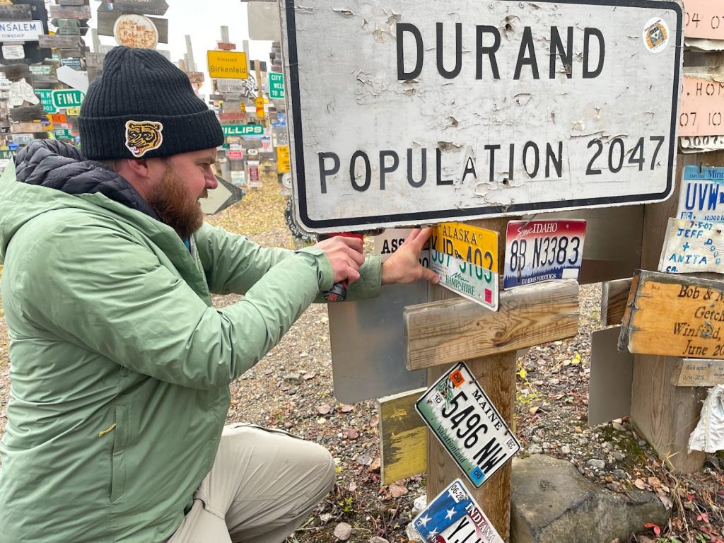
We found a good spot to leave our mark and then backtracked slightly to get onto the Stewart-Cassiar Highway. Lots of miles driven, and almost into British Columbia!
Alaska Highway!

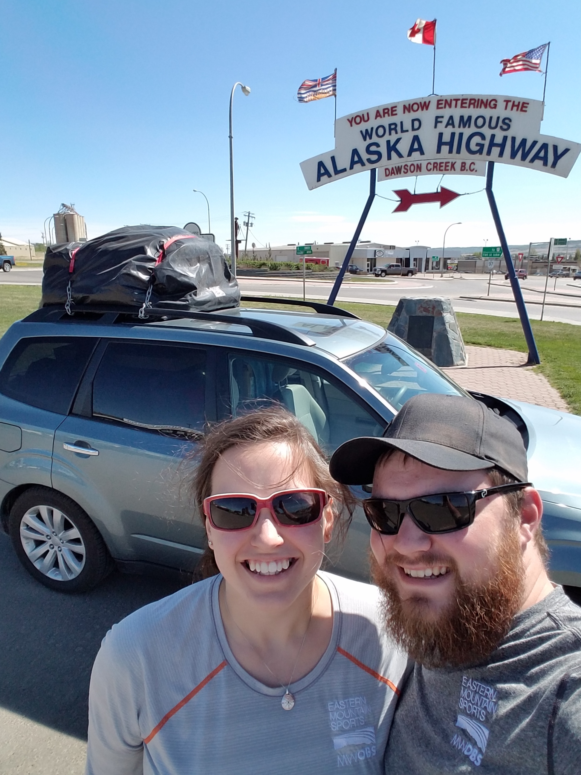
Wednesday morning we woke up early and left the Hinton Lodge in Hinton, Alberta. From there we drove most of the day reaching Fort Nelson, British Columbia by dinnertime. We reached Dawson Creek, BC (mile 0 of the Alaska Highway!) around 3PM MDT but gained an hour since Dawson Creek area runs on MST year-round.

2016-05-04 13.14.18.jpg
Dawson Creek, BC – mile 0 of the Alcan!

A few things about the Alaska Highway (or the Alcan Highway as it’s also known) that I thought were really interesting and learned from the guidebook – it’s considered to be the largest and most difficult construction project since the Panama Canal. In 1936, FDR lobbied Canadian Prime Minister Mackenzie King for a highway connecting Canada to Alaska. His argument was that the highway could be used for military defenses on the west coast in the event of a Japanese attack. Well, nothing was done for a few years, but shortly after the attacks on Pearl Harbor both the US and Canada recognized the immediate need for this road to be built, so they quickly got to work. A plan for the road was constructed by the US Army on February 6, 1942 and it only took 5 days to receive authorization from Congress. Construction began on March 8, 1942 and was completed on November 20, 1942; less than 9 months later!! Just incredible. The strategy for completing the road in such a short time included 5 separate teams that worked in several different directions, eventually meeting each other along the way. Today, the road has been re-constructed and re-routed, but there are historical mileposts that mark the original highway.

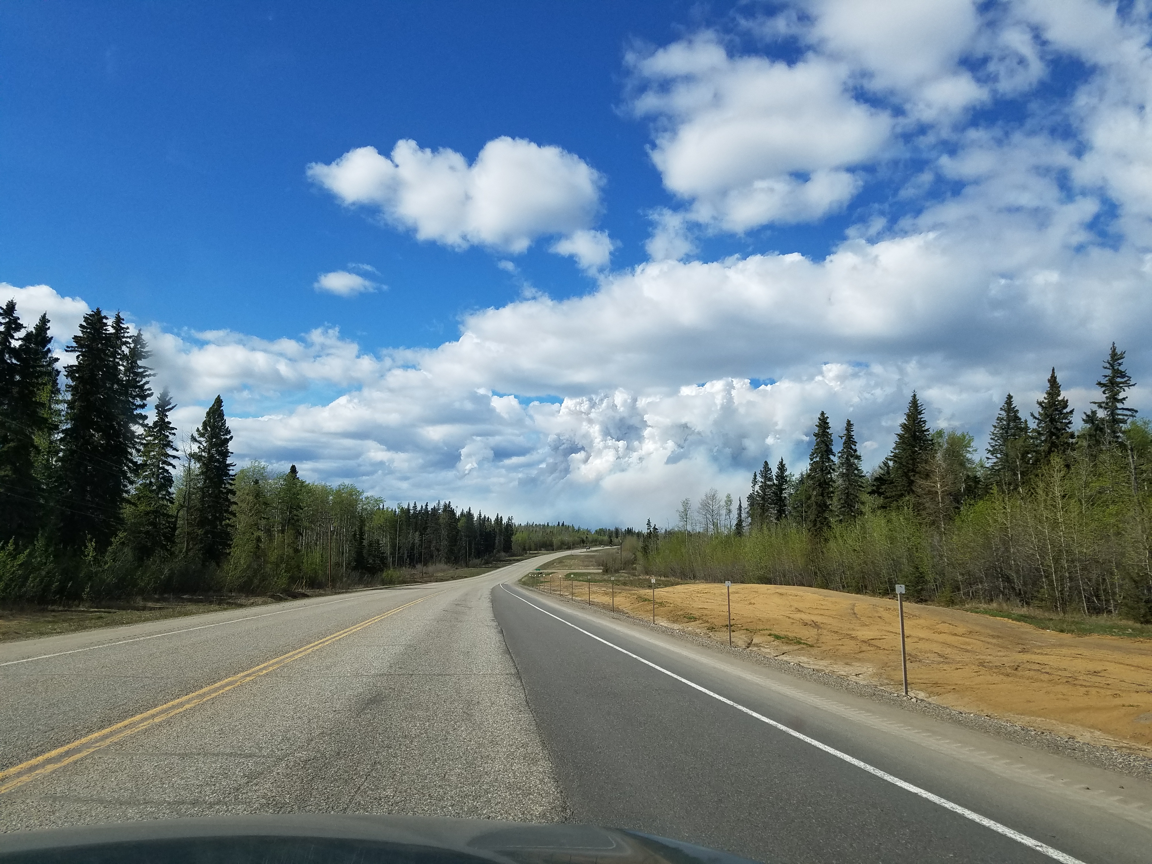
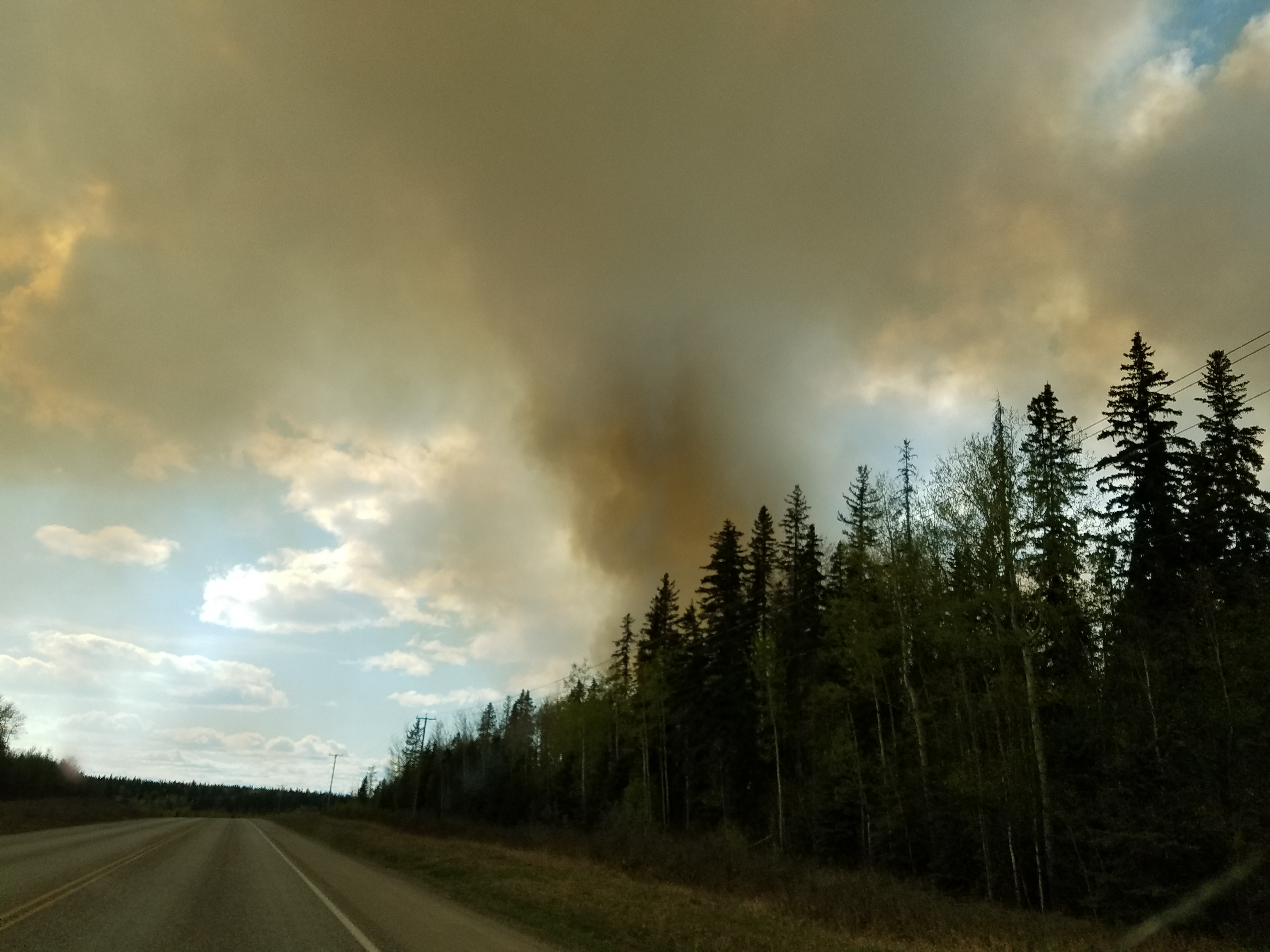
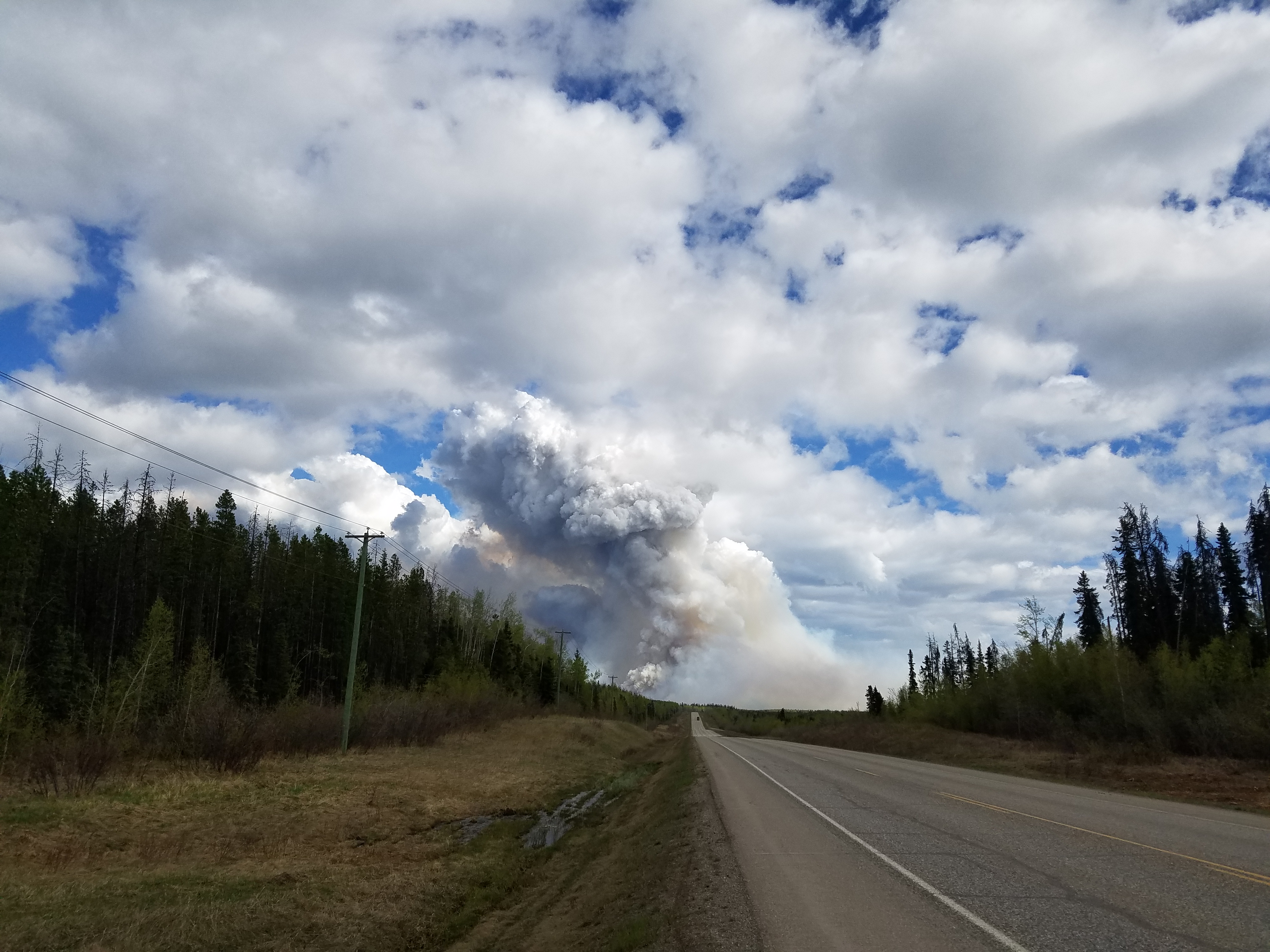
Eighty miles into the Alaska Highway, we saw a massive wildfire (later learned that it was the Beatton Airport Road fire) that was dangerously close to the road and we were surprised to see that traffic was still moving. The winds on Wednesday were incredibly strong all day which hindered the firefighting efforts. After looking up more information online, we learned that we got through the area just in time. That stretch of the Alaska Highway was shut down much of Thursday when the fire jumped the road. We also learned that the fire has been ongoing since mid-April (!) This fire is different from the Fort McMurray fire in Alberta, which as you can imagine is the top item of discussion among many Canadians.

2016-05-04 15.30.31
Plumes of smoke seen from a distance

2016-05-04 15.46.32
Beatton Airport Road fire along the Alaska Highway, British Columbia

2016-05-04 15.47.20

2016-05-04 15.53.47
Looking back after passing the fire

After another five hours of driving, we stopped for the night in Fort Nelson. As luck would have it, we were given an upgraded room with in-unit laundry!! We were so excited to wash our clothes. Funny how the simple things can make you so happy! The days have been getting longer and longer each day as we travel north. Wednesday night at 10PM, there was still a glow on the horizon. Guess we better get used to that!

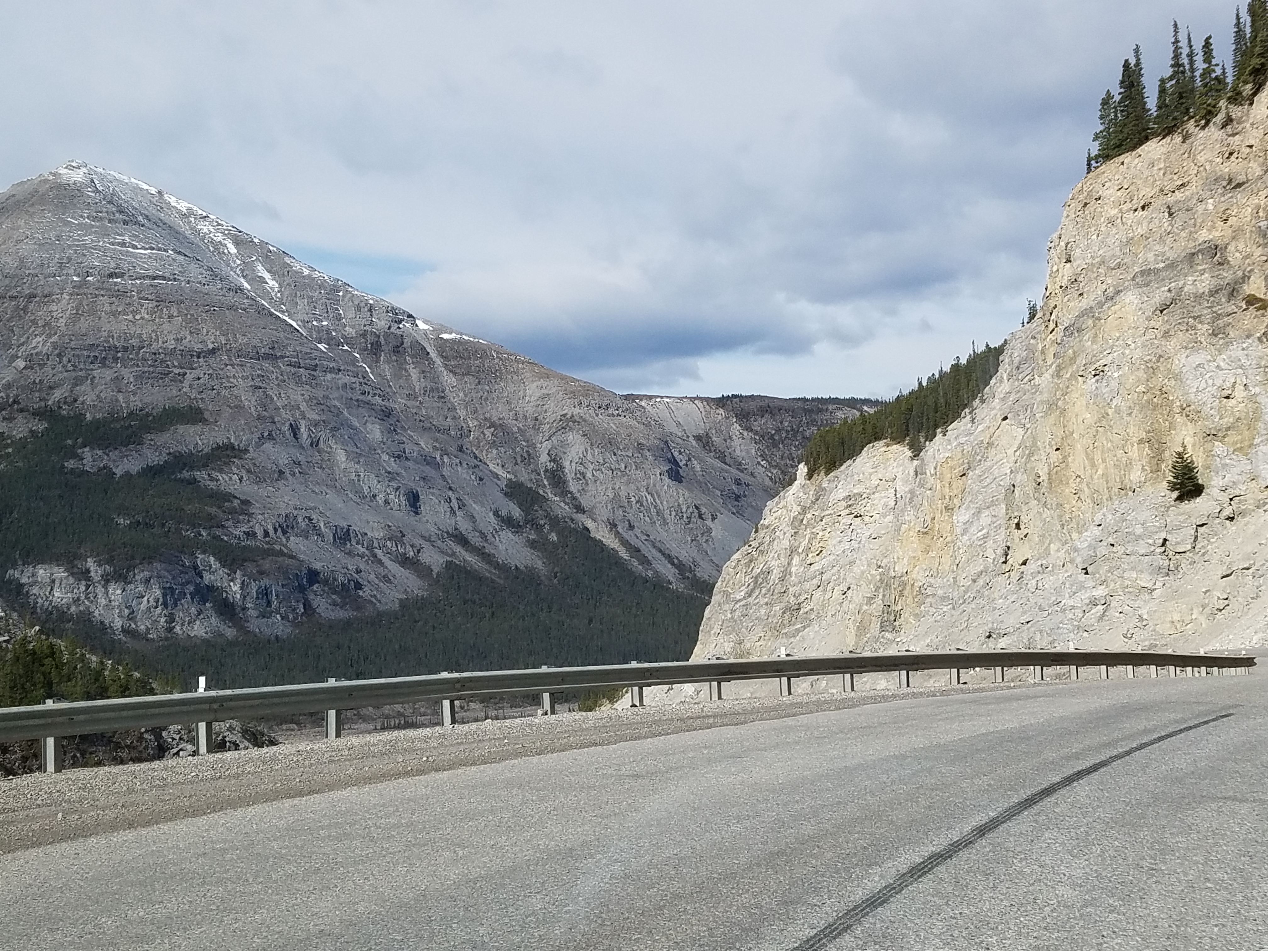
After a great night’s sleep in our fancy in-unit laundry suite, we got back on the Alaska Highway Thursday morning. We drove through Stone Mountain and Summit Lake Pass, which is the highest point along the highway (4,250 feet).

2016-05-05 10.13.34.jpg
Stone Mountain, British Columbia

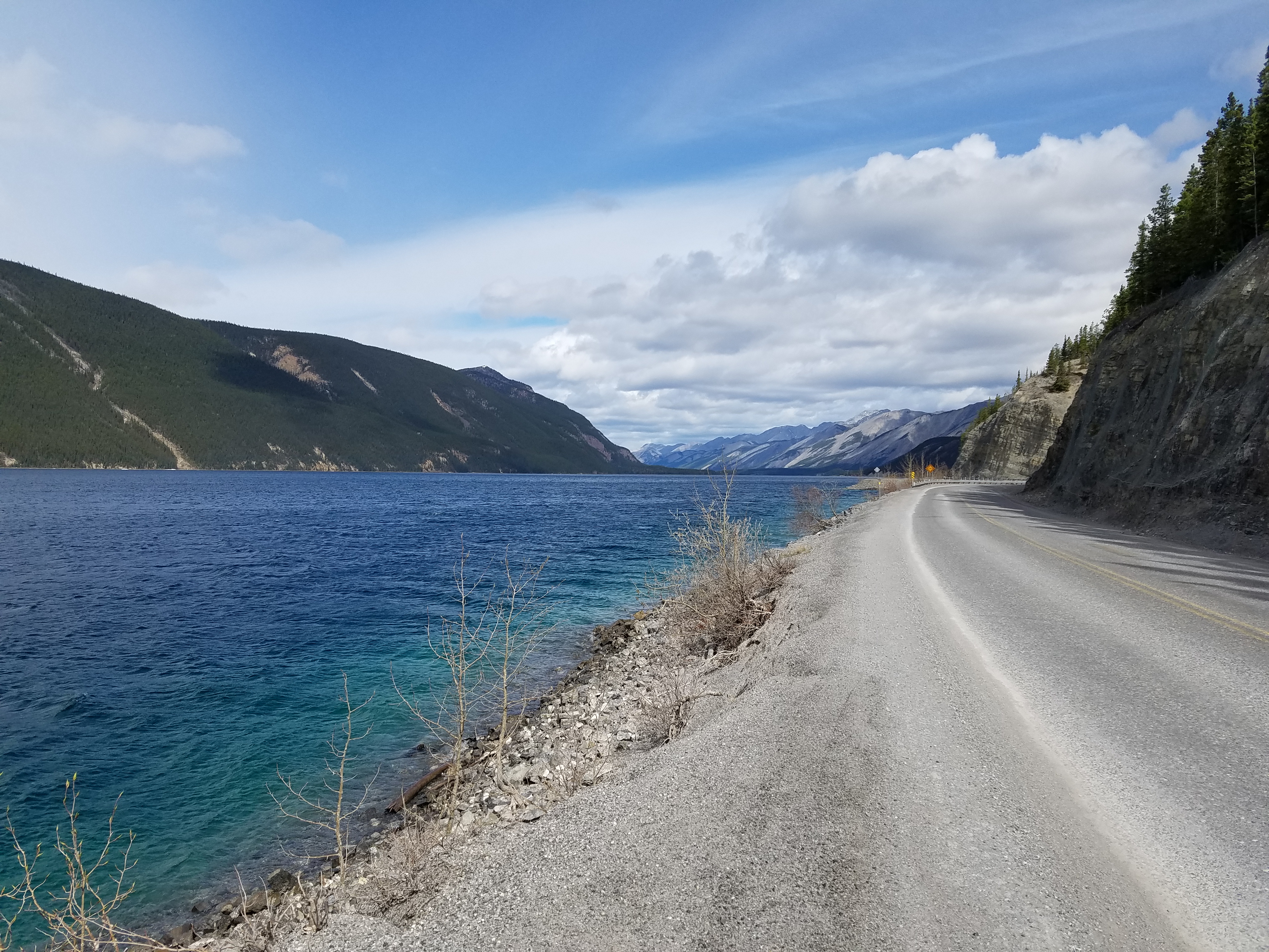
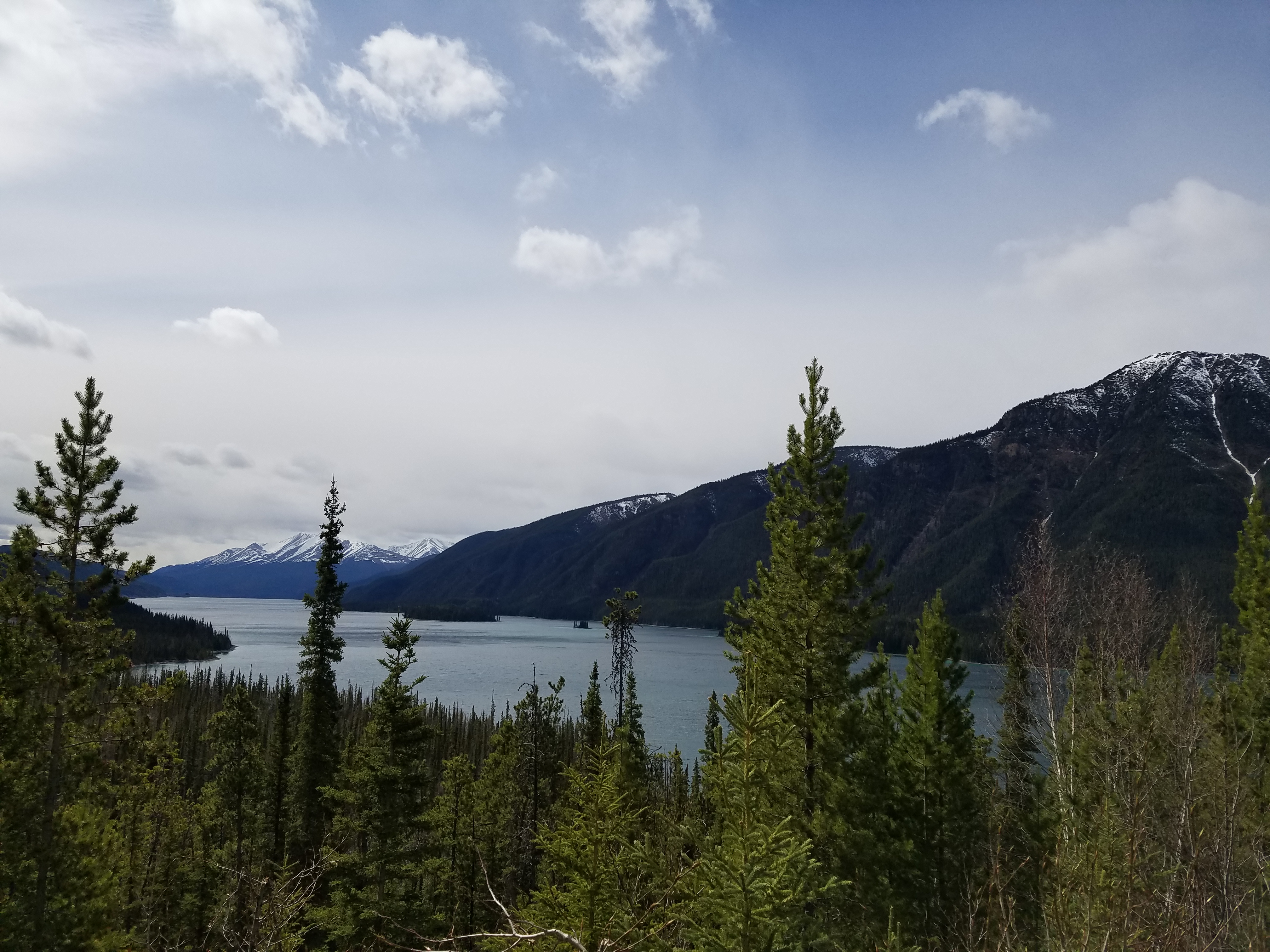
Shortly after noon on Thursday, we reached Muncho Lake Provincial Park and spent some time there taking in the scenery. Then it was onto the Liard Hot Springs which has been the best part thus far!

2016-05-05 11.35.17.jpg
Muncho Lake, British Columbia. So beautiful – the color of the water is attributed to leaching of copper oxide. 

2016-05-05 11.49.01.jpg
View of Muncho Lake from the northern end

2016-05-05 12.50.58.jpg
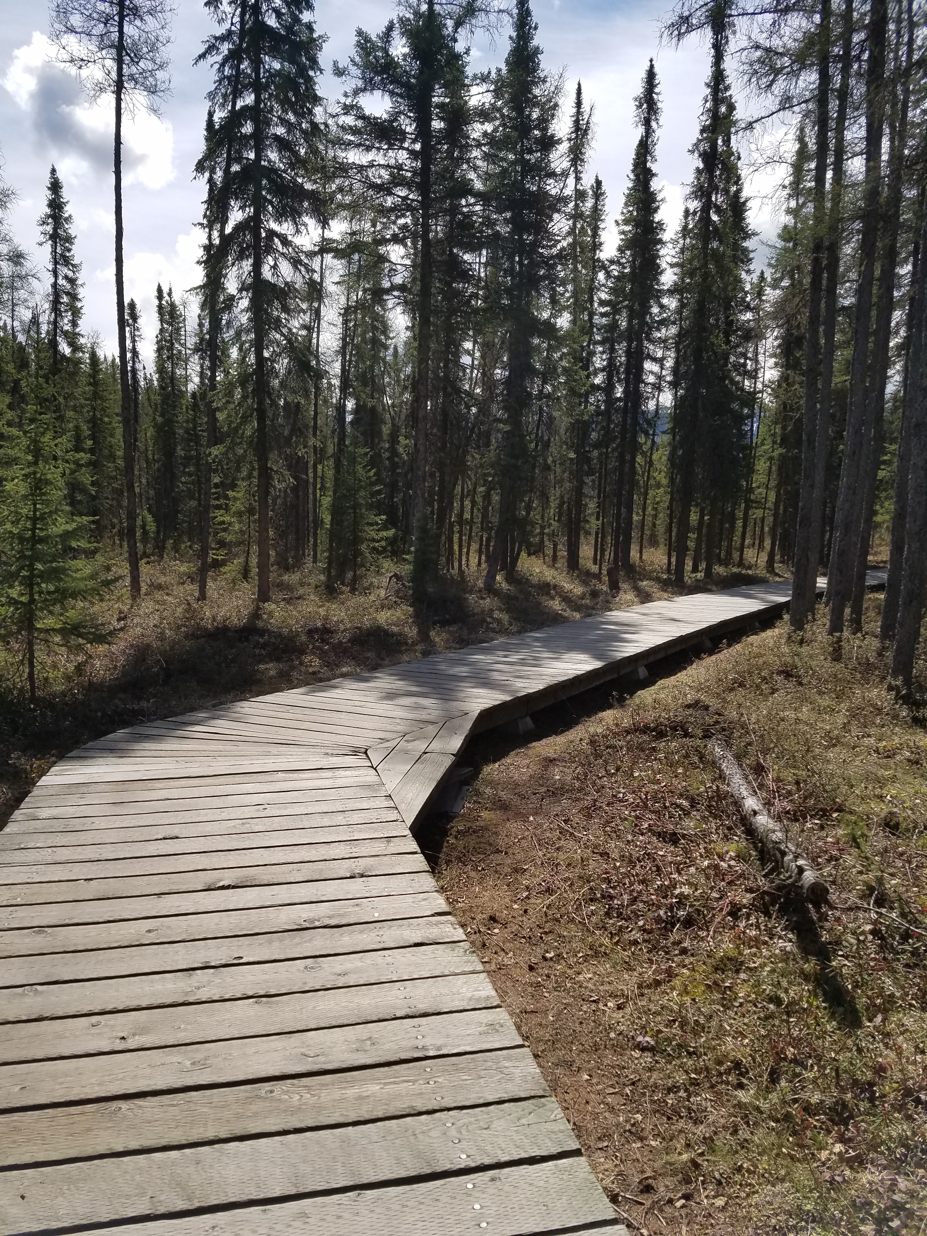
Boardwalk leading out to Liard Hot Springs 

2016-05-05 13.08.17.jpg
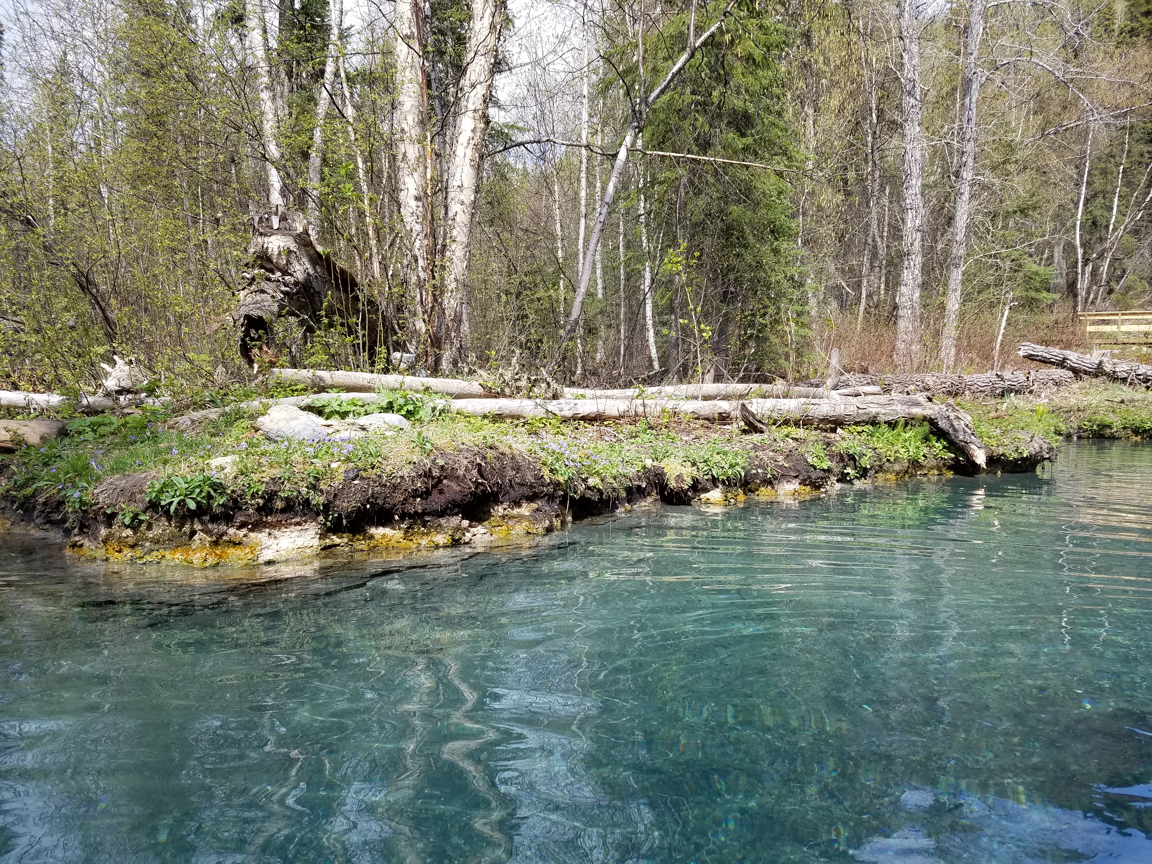
Beautiful! Wouldn’t this be a great backyard!?

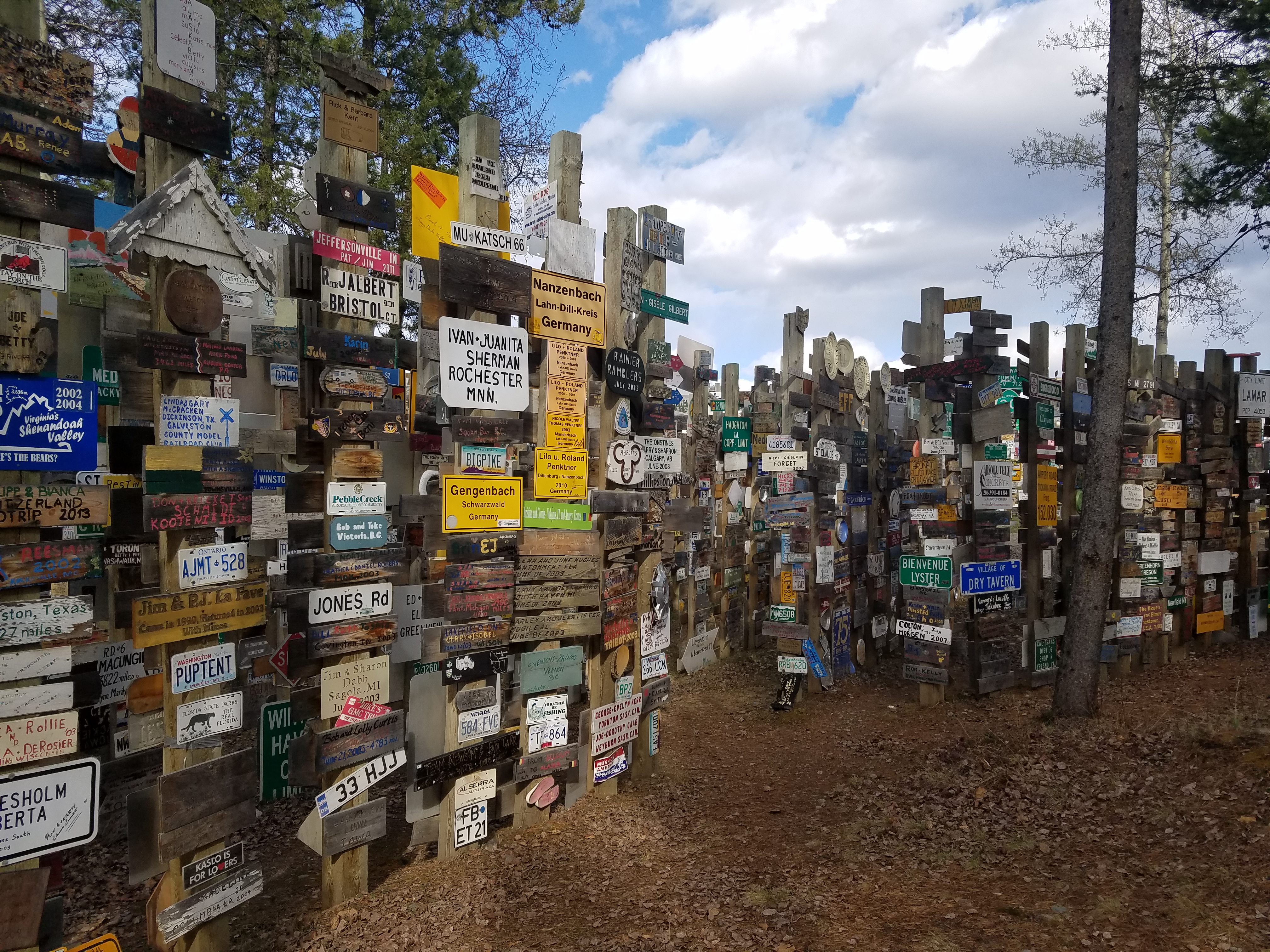
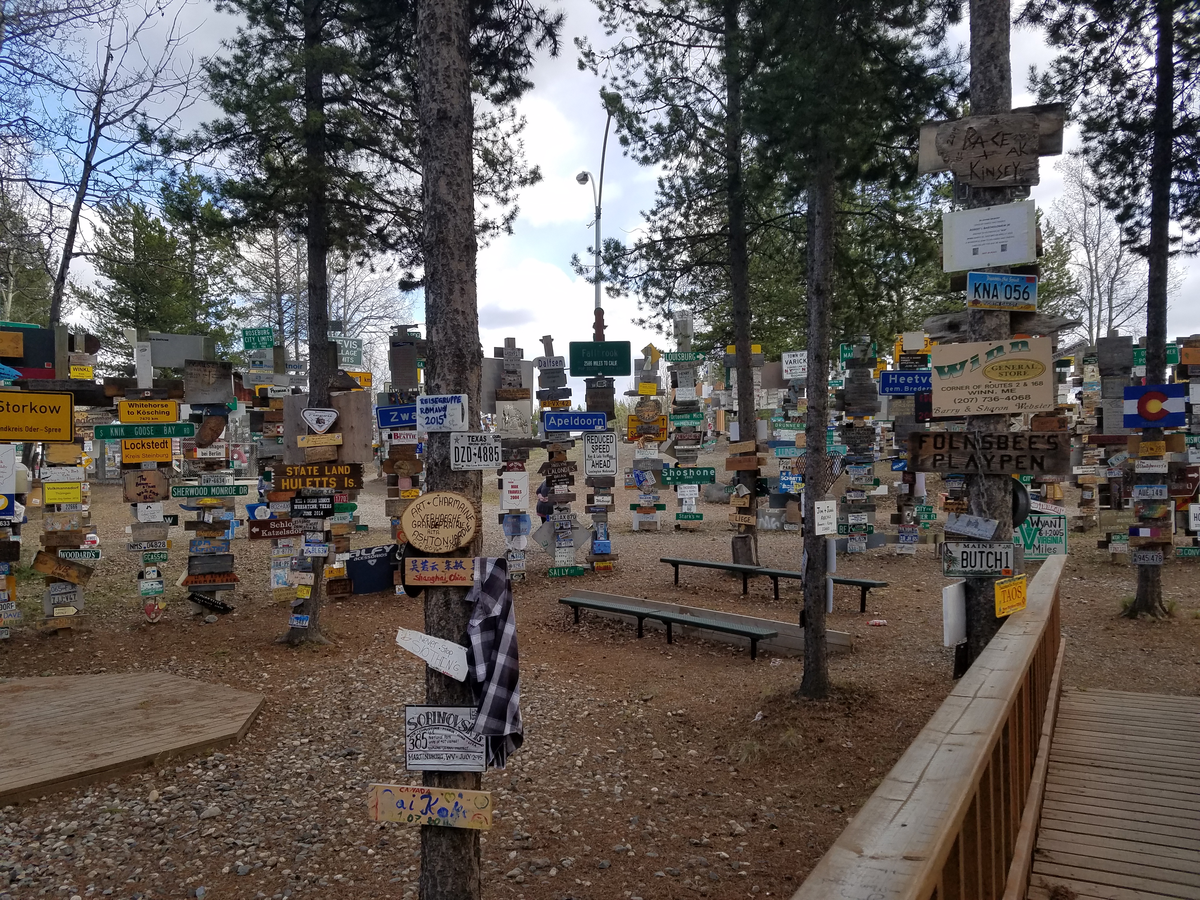
Another few hours of driving brought us to Watson Lake, Yukon. We grabbed a quick lunch at Kathy’s Kitchen and upon departing the gravel driveway, a rock got stuck in the front left brake. Well, we didn’t know it was a rock at first and got worried that there was a bigger problem, but a lady across the way who just happened to work for her uncle’s garage spotted us inching it forward a bit, looking under the car, listening, and yelled out to us saying, “It’s just a rock in your brakes, come on over and we’ll fix you up!” Gotta love the super friendly people around here! While operation remove-the-rock was underway, Tim and I walked over to Sign Post Forest. It’s a pretty cool place and the signs go on forever. As the story goes, a homesick GI named Carl Lindley was working on the Alaska Highway, and after recovering from an injury in Watson Lake, he was tasked with repairing some of the distance signs to surrounding towns. He then decided to put up a sign in the direction of his hometown, Danville, Illinois, and Sign Post Forest was born! Today over 72,000 signs have been added from all over the country and the world. We also learned that the locals call it the “Largest Public Collection of Stolen Property” haha!!

2016-05-05 16.55.58.jpg
Sign Post Forest in Watson Lake, Yukon

2016-05-05 17.01.41.jpg
Signs everywhere!

After we returned to the car and thanked the people at the garage, we decided to stay in a cute cabin in Nugget City, 20 minutes away from Watson Lake. We wandered over to the restaurant next door, “Wolf it Down”, and split a bison burger. We also met the great owners, Scott and Linda, and the cook Dave. They told stories of their travels and a couple of guys in the Army on their way to Anchorage as well asked some questions about how cold it gets in the Yukon area. Scott the owner responded, “Oh, about -40. You just don’t do anything strenuous, ya know, don’t go out chopping wood because next thing you know you take a deep breath, your lungs freeze, and you drop dead!” Hahaha!! Tim and I were laughing so hard. We had such a great time, what a fun place!

Not long now until we reach Alaska!